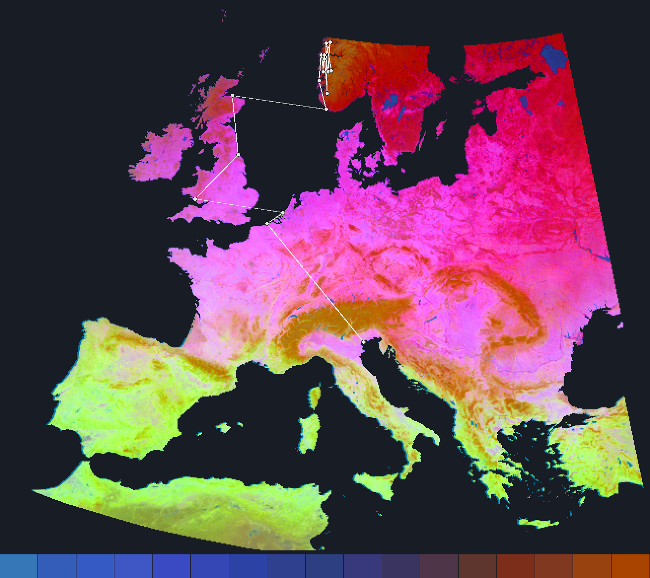
The Shortest Way Through Embedding Space
On a globe, the shortest route between two places is a great circle, the black line on the map. Embeddings have length one, so they also lie on a sphere, one with 64 dimensions, and the distance between two of them is the angle between them.
The walk is the shortest route on that sphere that stops only at real places. Each step goes to one of the current place's 10 closest matches, and the walk is the chain whose angles add up to the least.
A Zigzag Across the Continent
Look-alikes can be far apart, and every step must leave its own surroundings: matches within about 100 km do not count. Paris and Zermatt are 515 km apart, but the walk between them covers 4,338 km on the ground.
Along the bottom of the map, each step has a satellite view edged in its embedding colour, with the angle of each hop between the views. The largest hop is marked, since it is where the chain is weakest. Click any two places on the map to walk between them.
How this was made
The graph links every 6 km cell of AlphaEarth Foundations' 2018 embedding to its 10 closest matches more than about 100 km away, and every cell can reach every other along these links. Between random pairs of cells, a walk takes a median of 15 hops of 183 km, and its largest hop has a median of 19°.
A walk is one shortest chain, and other chains of similar length may exist. A walk you choose starts and ends at the cells under your two clicks, so a click on a preset's named place can pick the neighbouring cell and give a different walk. The satellite views are current imagery, not the 2018 scene the embedding saw. Place names: GeoNames, CC-BY.